Real estate · 3D property twin
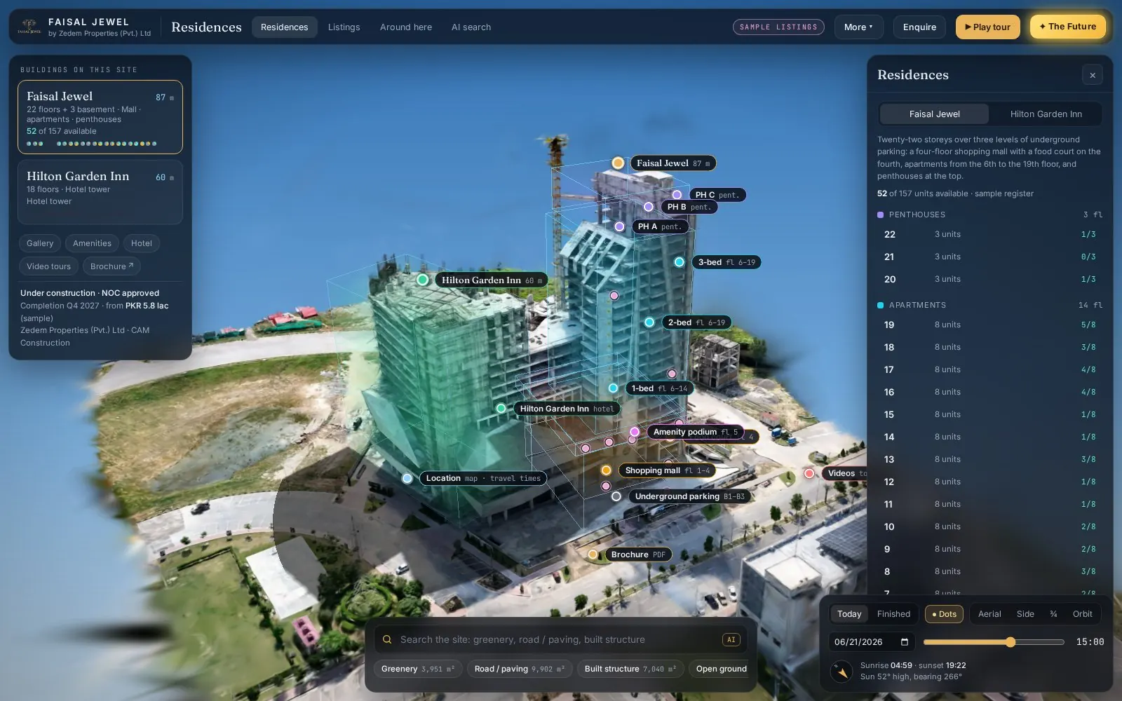
Faisal Jewel
Drone capture to Gaussian splat to an interactive twin with floors, hotspots and sun study.
- Floor boxes
- Picture hotspots
- Sun study
- AI area search
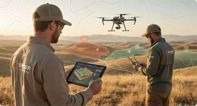
GeoAI, drone & LiDAR survey and terrain engineering — one team from field capture to decision.
The data is there. It is not joined, checked or turned into a decision.
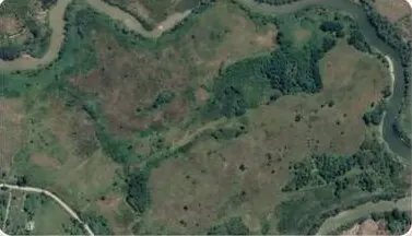 Terabytes · unread
Satellite imagery
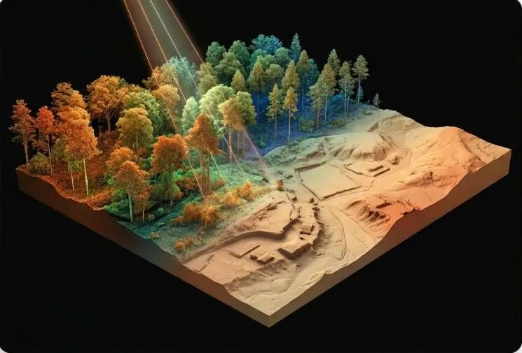 Many formats · no shared datum
Fragmented survey data
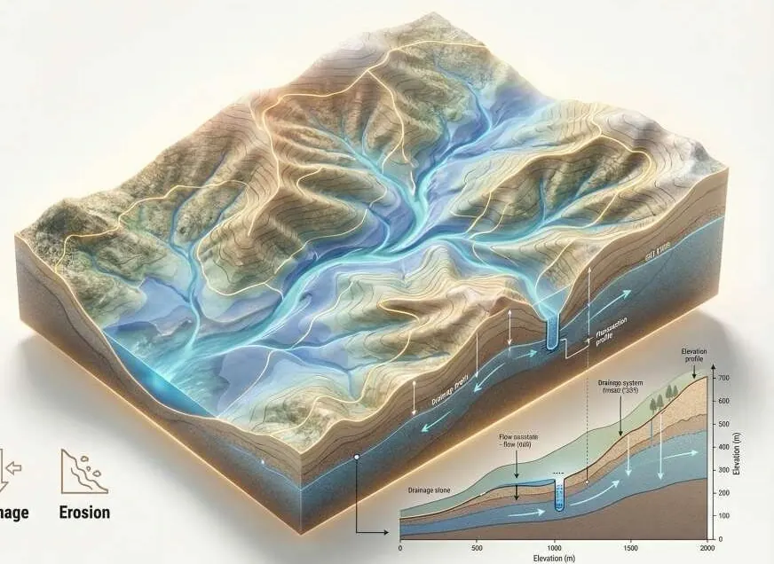 Drainage · not modelled
Underestimated flood risk
 Built without terrain data
Unscientific infrastructure
Raw data exists. Actionable intelligence does not.
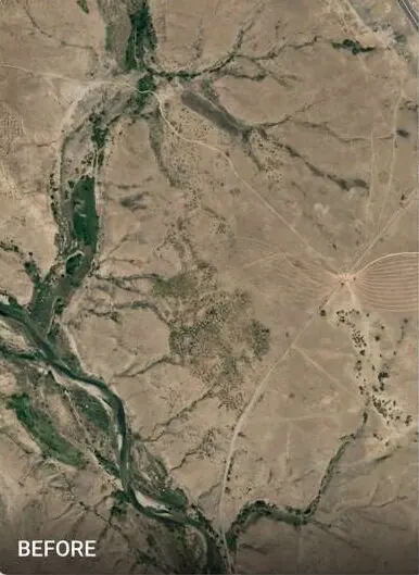
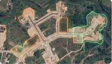
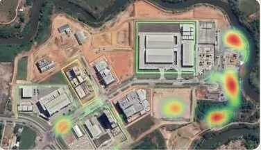
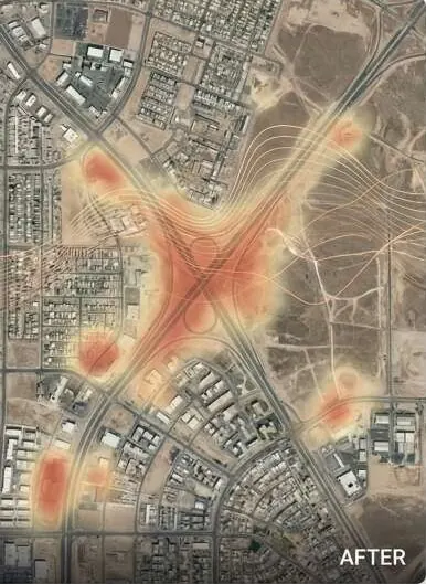
AI spatial analysis and multi-temporal change detection.
Models read imagery across dates to find what changed: construction, excavation, vegetation, water.
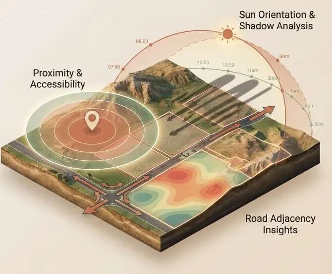
Terrain modelling, cut and fill, hydrology.
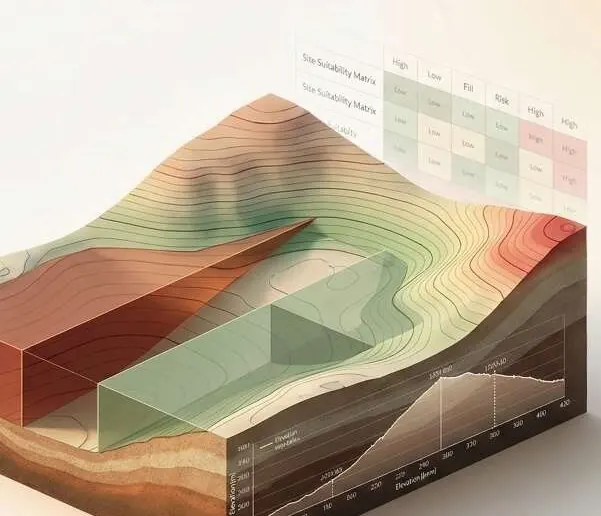
Engineering analysis turns terrain into decisions: volumes, drainage, flood risk, site suitability.
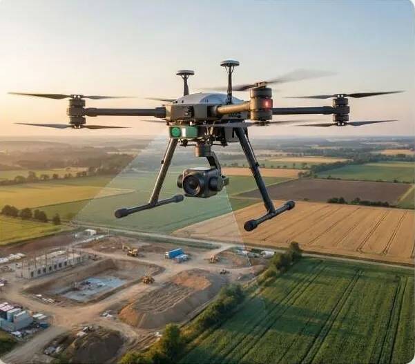
Centimetre-level mapping, with the error measured.
Our own field capture, tied to ground control, so the data underneath every model is known.
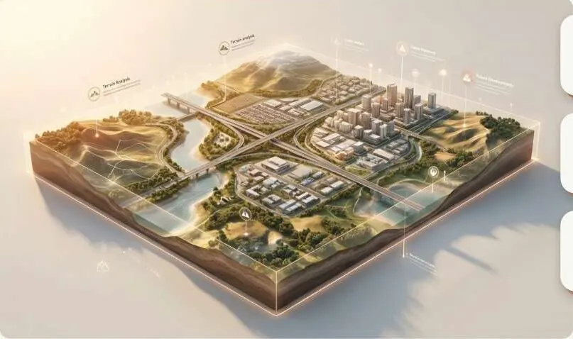
Interactive 3D sites and terrain in a browser.
Buyers, investors and engineers explore the same site model from anywhere.
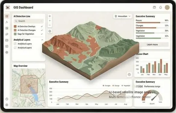
Every layer and every date in one panel.
Detections, terrain, survey and progress, joined for the people who decide.
Each pillar strengthens the others.
Each one answers a question you have to decide on.
Pick your sector to see the problems we solve and what lands on your desk.
 01
Real Estate & Housing
Sell the plot you can prove.
02Construction & Infrastructure
Measure the bill before the bill arrives.
 03
Government & Public Sector
Know your ground before the next decision.
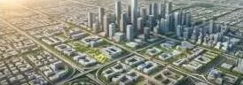 04
Urban Planning Authorities
Find the illegal layout before it is sold.
 05
Industrial Zones & SEZs
Plots your investors can trust before the first foundation.
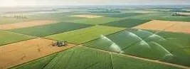 06
Agriculture & Irrigation
Level the field, then water it right.
07Environment, Floods & Climate
See the water before it arrives.
08Mining, Energy & Utilities
Volumes you can defend in the pit and in court.
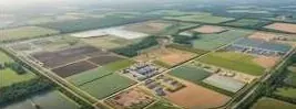 09
Investors, Banks & Due Diligence
Verify the land before you fund it.
 10
Survey & Engineering Firms
Your field team. Our intelligence layer.
Two real property sites, captured by drone and published as interactive 3D twins. They run in your browser, on a phone.
Real estate · 3D property twin
Drone capture to Gaussian splat to an interactive twin with floors, hotspots and sun study.
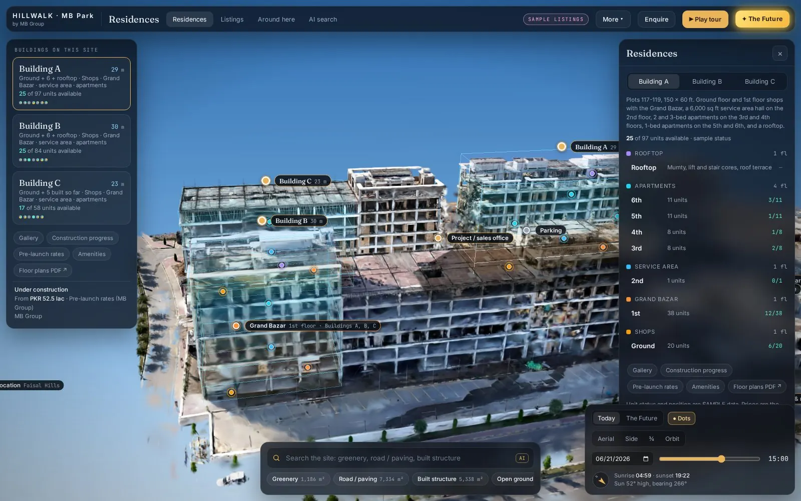
Real estate · 3D property twin
Drone capture to Gaussian splat to an interactive twin with floors, hotspots and sun study.
Captured by drone, trained into a Gaussian splat and published as a twin you can share with a link.How we prove the work
Eight steps, one team. Nothing is handed to another firm in between.
Step 1 of 8
Archive and new imagery selected for your boundary and dates.
OutputAligned multi-date imagery
Step 2 of 8
Field capture tied to ground control and check points.
OutputImages, point clouds, control
Step 3 of 8
Every source in one coordinate system, one schema, one store.
OutputClean, joined datasets
Step 4 of 8
Classification and change detection, reviewed by an analyst.
OutputDetections with dates
Step 5 of 8
Terrain, volumes, catchments and flood scenarios.
OutputDEM, volumes, hazard maps
Step 6 of 8
Results checked against independent points and engineering limits.
OutputRMSE and QA report
Step 7 of 8
All layers published to a panel your team can use.
OutputLive dashboard link
Step 8 of 8
Findings written for the decision, with the evidence attached.
OutputReport and recommendations
From acquisition to decision.
GIS, survey, AI, engineering and visualisation usually sit in five firms. Each handoff loses data and time.
One team carries the data from field to dashboard.
One coordinate system and one schema from start to finish.
No waiting for another firm's queue.
Imagery, terrain, engineering and AI answer the question together.
We report the error, not a promise. Every delivery states its method and its measured accuracy.
Each drone image is positioned against a reference station.
Surveyed targets tie the model to real coordinates.
Points kept out of processing measure the true error.
You see the measured error for your site, not a brochure figure.
Accuracy report
Issued with every delivery
What you receive
Flown under Pakistan's Civil Unmanned Aircraft Rules 2024 with project permissions.

To be the leading GeoAI and geospatial engineering company in the region.
Every plot with facts attached: terrain, water, access, change.
Plans built on measured ground, not old maps.
Monitoring that flags change before it becomes a dispute.
Development that works with water and slope, not against them.
A KML, a sketch on a map or a district name is enough to start. We reply by email with questions, a method and a delivery list.
33.6844° N · 73.0479° E · Pakistan · working across Pakistan and the Gulf