Flood hazard, damage and erosion maps built from terrain your engineers can check.
What keeps you up at night
The problems we are asked to solve most often in environment & floods.
- 01
Flood warning comes too late.There is no hazard map for the district.
- 02
Post-flood damage assessment takes weeks.
- 03
Rivers and drains are encroached; flow paths are blocked.
- 04
Erosion and riverbank loss go unmeasured.
- 05
Rainfall has shifted outside old design assumptions.
- 06
Relief funds are allocated on guesses, not mapped extents.
What we do about it
6 capabilities, one team, one coordinate system from field to dashboard.
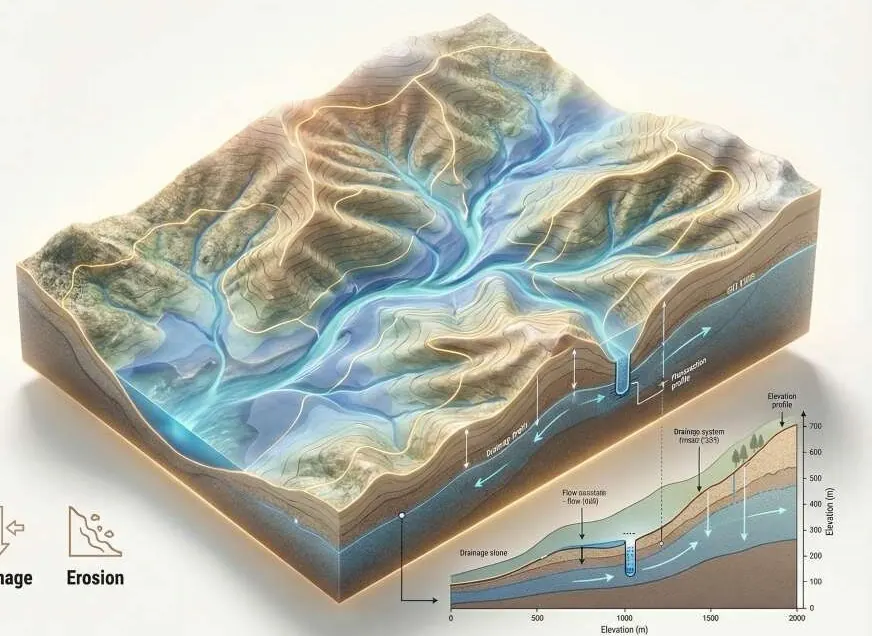
- Watershed & Hydrological EngineeringCatchments, flow, runoff, flood risk and erosion.Know where water goes before you build in its way.
- Change Detection & MonitoringDisaster impact and environmental degradation.See every new structure, cut and encroachment between two dates.
- GeoAI & Satellite IntelligenceFlood extent from satellite imagery.Know what changed on your land, and where, without sending a team.
- LiDAR & 3D ScanningBare-earth DTM for the flood model.The ground under the trees, measured.
- Drone Survey OperationsRapid-response orthomosaics.A current, measurable picture of your site, flown on your schedule.
- Intelligent GIS DashboardsA live executive panel.Every layer, every date, in one panel your team can use.
Hydrology, on your ground.
Rising water on the DTM with a flood-extent slider; click a settlement for depth and damage class.
What lands on your desk
Files you can open, check and forward. Each delivery states its method and measured accuracy.
- Flood hazard mapLAZ
- Flood extent raster, before and afterGeoTIFF
- Catchment and flow accumulation rastersGeoTIFF
- Damage assessment layer by settlementGPKG
- Erosion change mapPDFGPKG
- The DTM used for the flood modelGeoTIFFDEM
The numbers
Published figures, each with its source and date. Estimates are marked.
USD 30 bn
economic cost of Pakistan's 2022 floods
Post-Disaster Needs Assessment: damages above USD 14.9 bn plus losses of about USD 15.2 bn.
33 million
people affected by the 2022 floods
Government of Pakistan estimate, September 2022.
Sep 2022ReliefWeb · Pakistan floods fact sheet (opens in a new tab)
2 million+
houses destroyed or damaged in the 2022 floods
About 767,000 destroyed and 1.3 million damaged (OCHA, October 2022).
Oct 2022OCHA · Revised Pakistan 2022 Floods Response Plan (opens in a new tab)
~1,700
deaths in the 2022 floods
NDMA figures cited in the IFRC final report, as of November 2022.
Nov 2022IFRC · Pakistan Monsoon Floods final report (opens in a new tab)
≤10 cm
vertical RMSE for USGS 3DEP Quality Level 1 lidar
QL1 also requires at least 8 pulses/m² and nominal spacing of 0.35 m or less. A published standard, not a Spyder guarantee.
0.11 m
ground-model RMSE under medium vegetation: UAV laser scan vs photogrammetry
Vegetation taller than 60 cm. Laser scanning reached the ground where photos could not.
2018ISPRS International Journal of Geo-Information (opens in a new tab)
Send us a boundary. We'll send back intelligence.
A KML, a sketch on a map or a district name is enough to start.
We reply by email with questions, a method and a delivery list.