Spyder Solutions is a Pakistan-based GeoAI and geospatial engineering firm. Drone and LiDAR survey, satellite AI, terrain and hydrology engineering, 3D digital twins and decision dashboards from one team.
GeoAI · Advanced Surveying · Intelligent Infrastructure · 33.6844° N · 73.0479° E
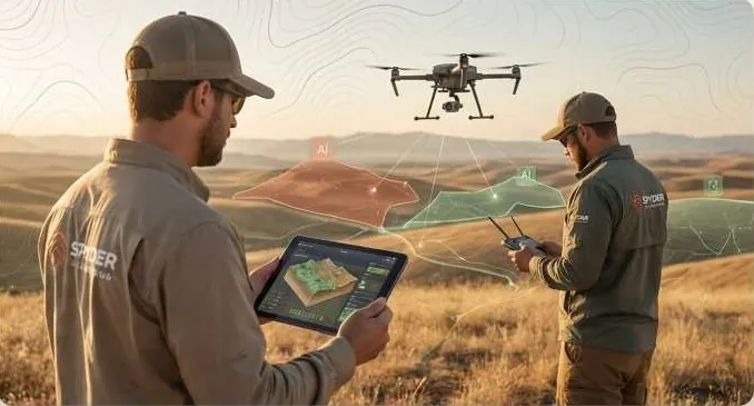
Field operations and AI, in one team.
Spyder Solutions bridges field operations with artificial intelligence. Engineering rigour plus AI gives spatial intelligence you can act on.
We capture the ground with drones and LiDAR, read change from satellites, model terrain and water, and publish it all as twins and dashboards the people who decide can use. Based in Pakistan, working across Pakistan and the Gulf.
Raw data exists. Actionable intelligence does not.
The world has a spatial intelligence problem. The data is there. It is not joined, checked or turned into a decision.
- Satellite imagery
- Fragmented survey data
- Underestimated flood risk
- Unscientific infrastructure
Five pillars. One pipeline.
Each pillar strengthens the others.
- 1
- 2
- 3
- 4
- 5
Why Spyder.
We don't just make maps. We engineer intelligence.
Deep GeoAI expertise
Models that read satellite and drone imagery across dates, reviewed by an analyst before anything reaches you.
Engineering-backed analysis
Volumes, drainage and flood risk are worked out with engineering methods, not only classified from pixels.
Field and AI in one team
The people who fly the site are the people who model it. Nothing is lost between capture and analysis.
High-precision survey
RTK/PPK, ground control and independent check points. The measured error is in every report.
End to end
From satellite acquisition to the final report and dashboard, with one point of contact.
Scales with the question
The same pipeline serves one plot, a housing scheme or a whole district.
Most firms hand off. We integrate.
GIS, survey, AI, engineering and visualisation usually sit in five firms. Each handoff loses data and time.
No handoffs
One team carries the data from field to dashboard.
Consistent data
One coordinate system and one schema from start to finish.
Shorter timelines
No waiting for another firm's queue.
Complete intelligence
Imagery, terrain, engineering and AI answer the question together.

Where we are going.
To be the leading GeoAI and geospatial engineering company in the region.
Smart land intelligence
Every plot with facts attached: terrain, water, access, change.
Scientific development planning
Plans built on measured ground, not old maps.
AI infrastructure systems
Monitoring that flags change before it becomes a dispute.
Sustainable terrain solutions
Development that works with water and slope, not against them.
A KML, a sketch on a map or a district name is enough to start. We reply by email with questions, a method and a delivery list.
33.6844° N · 73.0479° E · Pakistan · working across Pakistan and the Gulf