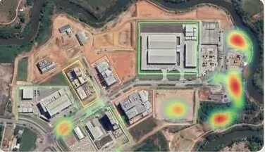
Know what changed on your land, and where, without sending a team.
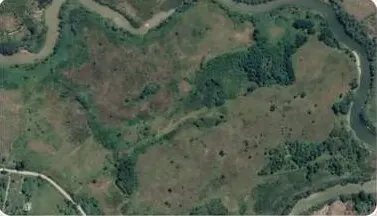
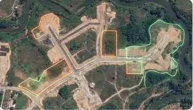
AI models read satellite imagery across dates and flag what matters: new construction, excavation, vegetation loss, expanding settlements.
Drag the handle or use the arrow keys to compare.
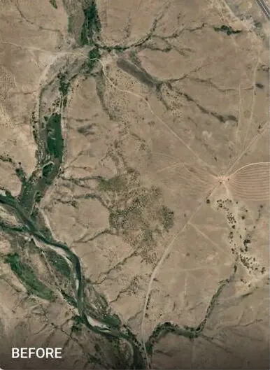
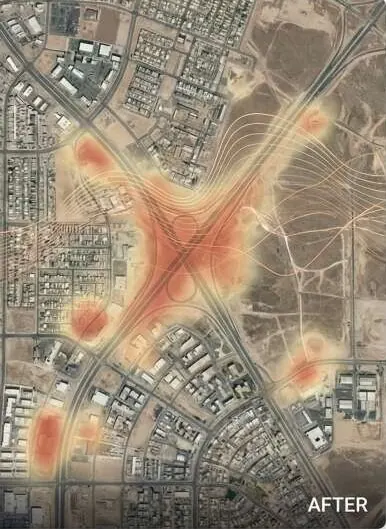
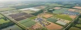
Satellite tile before development and after, with AI detections and a heat overlay where new built-up area was found.
Questions it answers
Where has new construction appeared since the last survey?
Has anyone excavated or disturbed earth on this land?
How is land use changing across the district?
Where is the city expanding, and how fast?
What you receive
Files you can open in your own GIS or CAD software, plus a report that states method and dates.
- Land-use and vegetation classification rasterGeoTIFF
- Detection layer with date and confidence per featureGeoPackage
- Urban expansion time series
- Analysis report with method and imagery dates
How it works
Part of GeoAI & Satellite Intelligence
- 1
Select imagery
We pick satellite scenes by date, resolution and cloud cover for your area of interest.
- 2
Prepare and align
Scenes are corrected, co-registered and clipped so dates compare pixel for pixel.
- 3
Run the models
AI models classify land cover and detect change. Results are checked against field or high-resolution samples.
- 4
Deliver the layers
You receive mapped detections, a summary report and a dashboard layer you can filter by date.
Who uses it
 Government & Public SectorDistrict-wide imagery, terrain and change alerts.
 Urban Planning AuthoritiesCatch illegal layouts before they are sold.
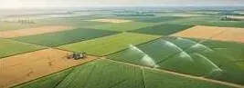 Agriculture & IrrigationLevel fields, trace water, read crop health.
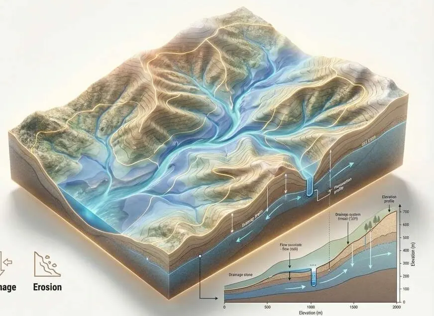 Environment, Floods & ClimateFlood hazard and damage maps engineers can check.
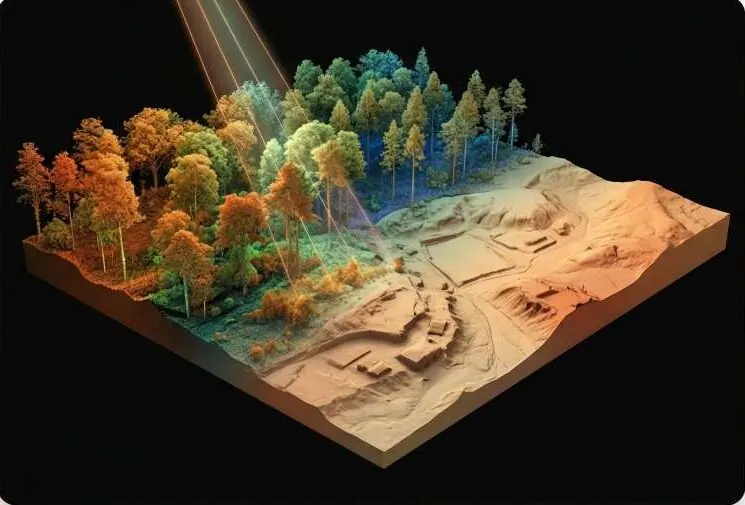 Mining, Energy & UtilitiesDefensible volumes and corridor profiles.
 Investors, Banks & Due DiligenceVerify the land before you fund it.
 Survey & Engineering FirmsAdd GeoAI, LiDAR processing and twins to your bids.
Works with
Put GeoAI to work on your site.
A KML, a sketch on a map or a district name is enough to start.
We reply by email with questions, a method and a delivery list.