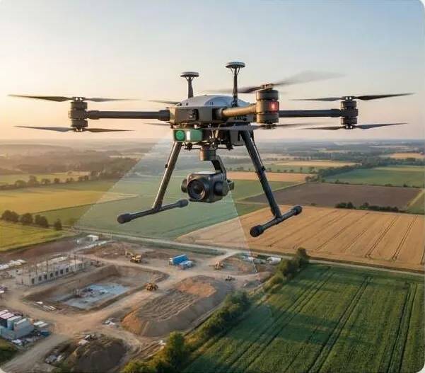
The ground under the trees, measured.
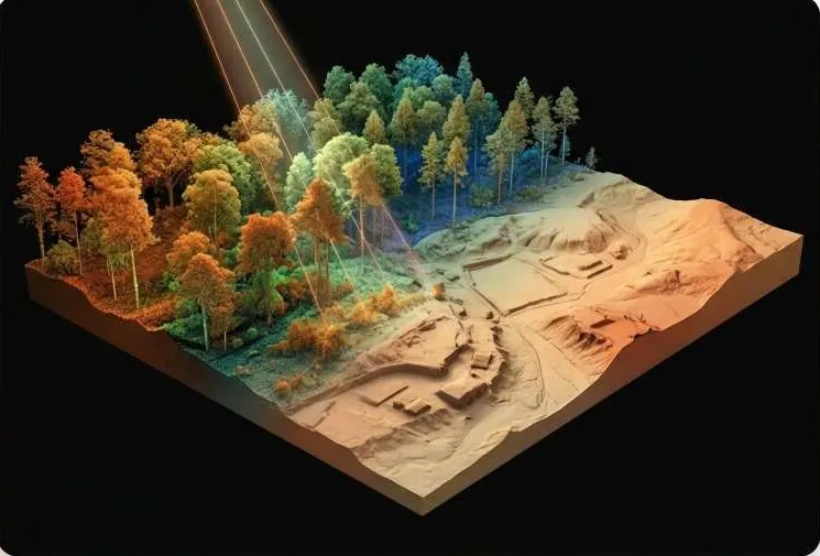
Dense point clouds that see through canopy. Bare-earth models for flood, corridor and volume work where photos fail.
Drag to rotate. Switch canopy and bare earth.
A generated point cloud of a hill with trees, coloured by height. Switch between canopy and bare earth.
Questions it answers
What is the true ground level under this vegetation?
What is the volume of this stockpile or pit?
Which way should the corridor run across rough terrain?
Is the pit wall stable between surveys?
What you receive
Files you can open in your own GIS or CAD software, plus a report that states method and dates.
- Classified point cloudLAS / LAZ
- Bare-earth DTM and DSM
- Canopy height model
- Volume and profile reports
How it works
Part of Drone & LiDAR Field Operations
- 1
Scan
Airborne or terrestrial LiDAR captures millions of points per hectare.
- 2
Register
Scans are tied to control and merged into one cloud.
- 3
Classify
Ground, vegetation, buildings and noise are separated.
- 4
Model
Bare-earth and surface models, with accuracy against check points.
Who uses it
 Construction & InfrastructureSettle quantities and progress with survey-grade volumes.
 Government & Public SectorDistrict-wide imagery, terrain and change alerts.
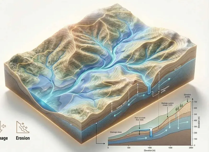 Environment, Floods & ClimateFlood hazard and damage maps engineers can check.
 Mining, Energy & UtilitiesDefensible volumes and corridor profiles.
 Survey & Engineering FirmsAdd GeoAI, LiDAR processing and twins to your bids.
Works with
Put LiDAR to work on your site.
A KML, a sketch on a map or a district name is enough to start.
We reply by email with questions, a method and a delivery list.