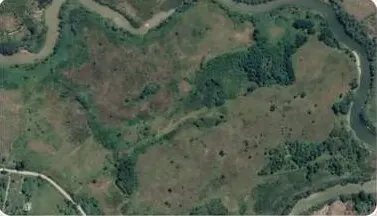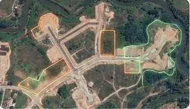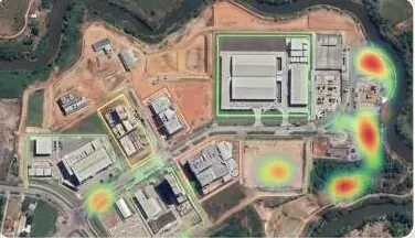
Scheduled satellite and drone change alerts for every zone your authority covers.

What keeps you up at night
The problems we are asked to solve most often in urban planning.
- 01
Illegal societies and unapproved layouts keep appearing.Enforcement lags.
- 02
Approved layouts differ from the ground, and there is no fast way to compare.
- 03
Master plan updates use maps that are years out of date.
- 04
Encroachment on roads, parks and green belts goes unnoticed.
- 05
Plot-level approvals depend on manual field checks.
- 06
Drainage and flood risk are not built into zoning.
What we do about it
6 capabilities, one team, one coordinate system from field to dashboard.
- Change Detection & MonitoringIllegal construction and urban expansion alerts.See every new structure, cut and encroachment between two dates.
- GeoAI & Satellite IntelligenceUrban expansion and infrastructure growth tracking.Know what changed on your land, and where, without sending a team.
- Spatial Intelligence & Land AnalyticsEvidence for zoning recommendations.Plot-level facts a buyer, lender or authority can check.
- Watershed & Hydrological EngineeringDrainage and flood risk inside planning.Know where water goes before you build in its way.
- Drone Survey OperationsCurrent base mapping for the master plan.A current, measurable picture of your site, flown on your schedule.
- Intelligent GIS DashboardsAn enforcement panel for the authority.Every layer, every date, in one panel your team can use.
Change detection, on your ground.
Timeline scrubber over a zone; new built footprint flashes between two dates.
What lands on your desk
Files you can open, check and forward. Each delivery states its method and measured accuracy.
- Unauthorised-development detection listGPKGPDF
- Master plan base mapGeoTIFFDEMPDF
- Urban expansion time seriesGeoTIFF
- Drainage and flood risk overlay for zoningGPKG
- Enforcement dashboard with a timestamp per detectionURL
The numbers
Published figures, each with its source and date. Estimates are marked.
5,492
housing societies listed as unregistered, illegal or paper-only
Against 3,432 registered, in a report submitted to the Supreme Court. Undated snapshot.
UndatedEstimateZameen News · report submitted before the Supreme Court (opens in a new tab)
171
illegal housing societies in Lahore
Against 423 legal societies, per a Board of Revenue briefing.
Oct 2024ProPakistani · Board of Revenue briefing (opens in a new tab)
140 of 204
Islamabad housing societies estimated illegal
CDA chairman's estimate. Date not confirmed.
UndatedEstimateProPakistani · CDA chairman (opens in a new tab)
Open it. It's live.
Two real property sites, captured by drone and published as interactive 3D twins. They run in your browser, on a phone.
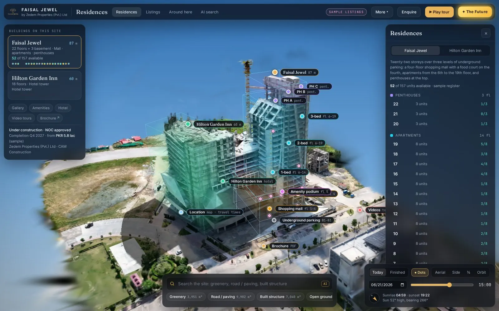 Live(opens in a new tab)Open live 3D
Real estate · 3D property twin
Faisal Jewel
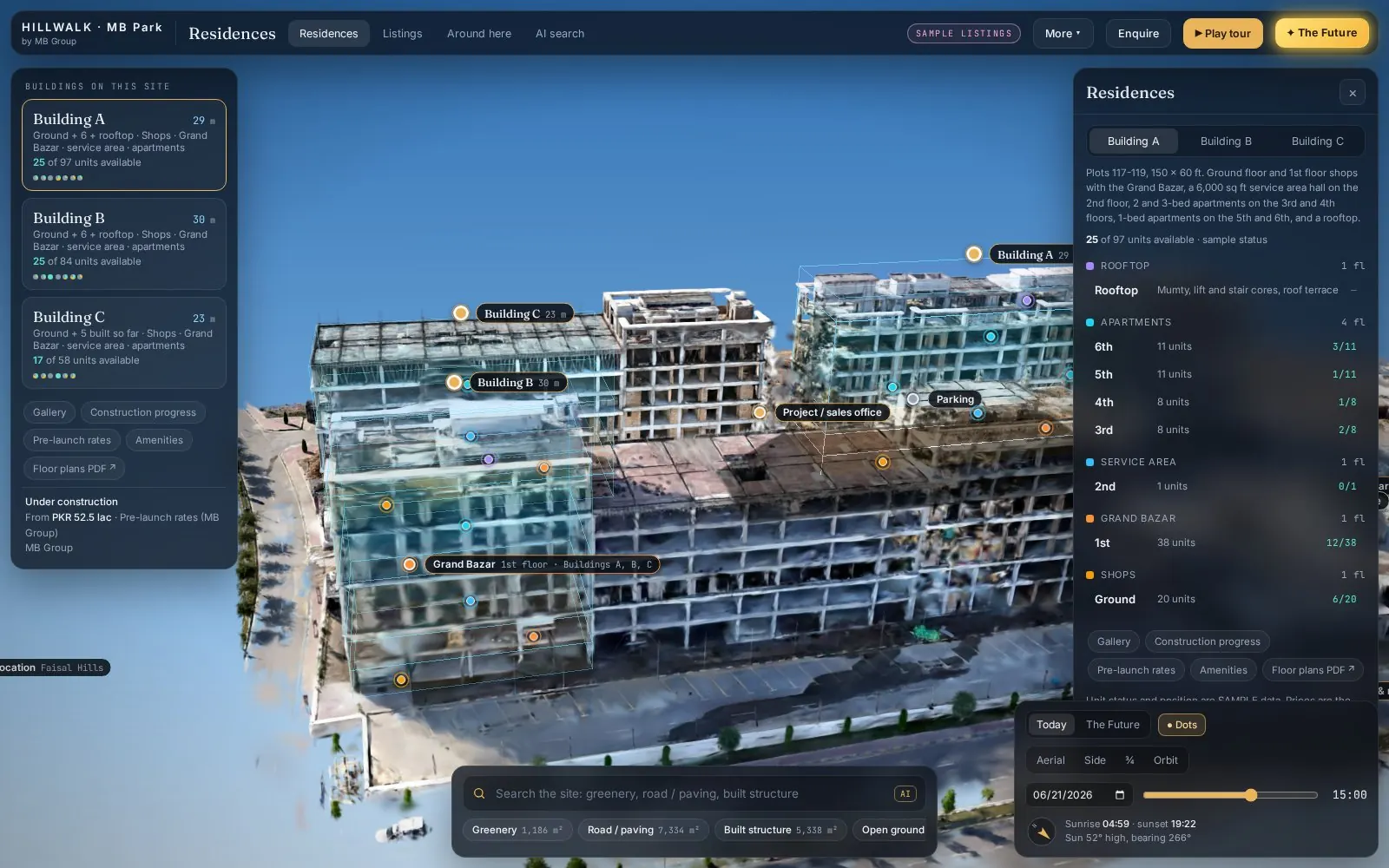 Live(opens in a new tab)Open live 3D
Real estate · 3D property twin
Hill Walk
Drone capture → Gaussian splat → Interactive twin
Send us a boundary. We'll send back intelligence.
A KML, a sketch on a map or a district name is enough to start.
We reply by email with questions, a method and a delivery list.