Cut and fill volumes both sides of the contract accept.
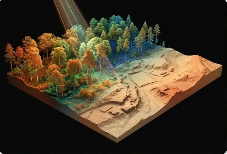
Contours, slopes, elevation profiles and cut-and-fill volumes from survey-grade terrain models.
Move the design level to balance cut and fill.
A ground cross-section against a design level. Ground above the level is cut, ground below it is filled. Volumes are illustrative.
Questions it answers
How many cubic metres must we cut, and how many fill?
Can we balance earthwork on site?
Is this slope safe to build on?
What did the contractor actually move this period?
What you receive
Files you can open in your own GIS or CAD software, plus a report that states method and dates.
- Cut / fill volume report per zone (m³), with method and date
- DEM, DSM and contour set
- Elevation profiles and cross-sections
- Slope and site suitability map
How it works
Part of Advanced Geospatial Engineering
- 1
Survey the ground
Drone or LiDAR capture, tied to ground control points.
- 2
Model the surface
Point clouds become a DEM, checked against independent check points.
- 3
Compare to design
The existing surface is differenced against your design or the previous epoch.
- 4
Report volumes
Cut and fill per zone, with the surfaces and RMSE attached.
Who uses it
 Real Estate & HousingProve every plot to buyers and approving authorities.
 Construction & InfrastructureSettle quantities and progress with survey-grade volumes.
 Industrial Zones & SEZsVerified levels, drainage and progress per phase.
 Agriculture & IrrigationLevel fields, trace water, read crop health.
 Mining, Energy & UtilitiesDefensible volumes and corridor profiles.
Works with
Put earthwork to work on your site.
A KML, a sketch on a map or a district name is enough to start.
We reply by email with questions, a method and a delivery list.