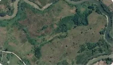
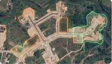
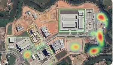
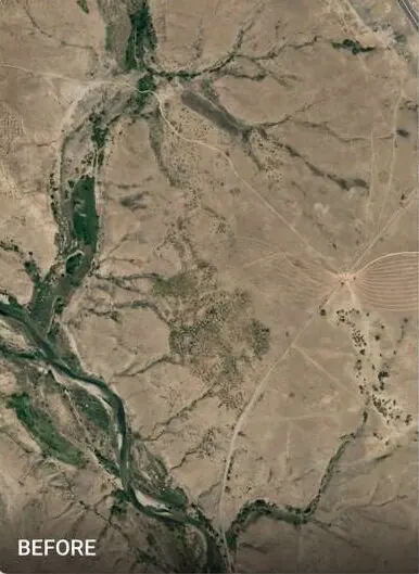
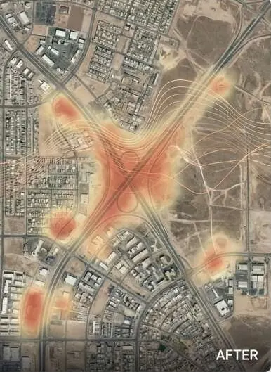
See every new structure, cut and encroachment between two dates.
Multi-date comparison of satellite and drone imagery. Each change is mapped, dated and ready for enforcement, billing or a claim.
Scrub the timeline or pick a date.
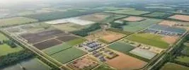
The same site in October 2022, April 2023 and November 2023. New roads, plots and buildings are outlined as they appear.
Questions it answers
What was built here between October and November?
Is the contractor's progress claim true?
Which roads, parks or green belts have been encroached?
Where did the flood damage settlements, and how badly?
What you receive
Files you can open in your own GIS or CAD software, plus a report that states method and dates.
- Change map between chosen datesGeoTIFF + GeoPackage
- Detection list with location, area and date per change
- Before / after image pairs per flagged site
- Scheduled monitoring reportmonthly or quarterly
How it works
Part of GeoAI & Satellite Intelligence
- 1
Set the baseline
We fix a reference date and boundary, from satellite archive or a fresh drone flight.
- 2
Capture each epoch
New imagery is acquired on your schedule and aligned to the baseline.
- 3
Detect and verify
Models flag change. An analyst reviews each flag before it reaches your list.
- 4
Alert and report
Changes land in your dashboard with dates, areas and image pairs.
Who uses it
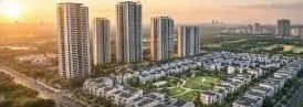 Real Estate & HousingProve every plot to buyers and approving authorities.
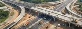 Construction & InfrastructureSettle quantities and progress with survey-grade volumes.
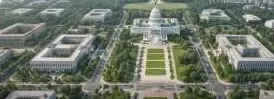 Government & Public SectorDistrict-wide imagery, terrain and change alerts.
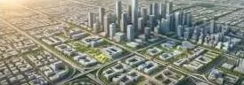 Urban Planning AuthoritiesCatch illegal layouts before they are sold.
 Industrial Zones & SEZsVerified levels, drainage and progress per phase.
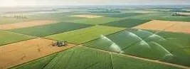 Agriculture & IrrigationLevel fields, trace water, read crop health.
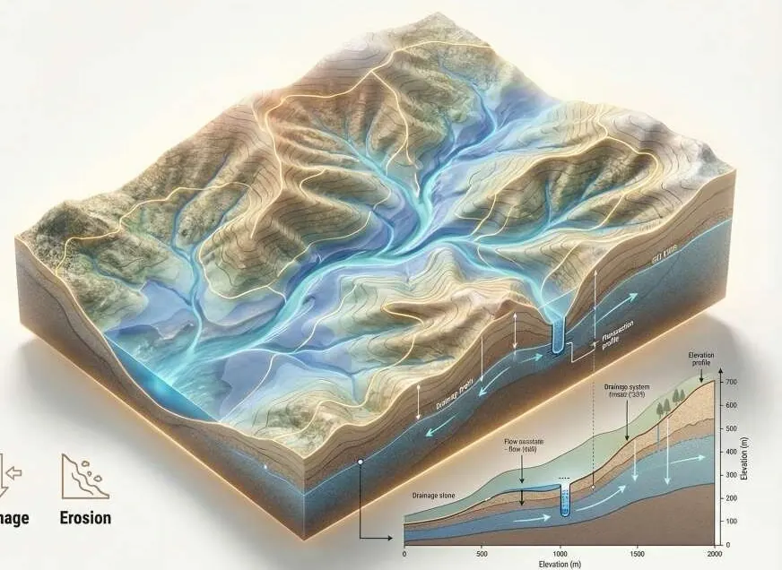 Environment, Floods & ClimateFlood hazard and damage maps engineers can check.
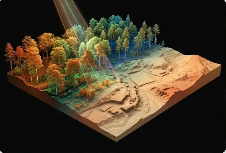 Mining, Energy & UtilitiesDefensible volumes and corridor profiles.
 Investors, Banks & Due DiligenceVerify the land before you fund it.
 Survey & Engineering FirmsAdd GeoAI, LiDAR processing and twins to your bids.
Works with
Put change detection to work on your site.
A KML, a sketch on a map or a district name is enough to start.
We reply by email with questions, a method and a delivery list.