LiDAR and satellite change records for stockpiles, pit walls and lease boundaries.
What keeps you up at night
The problems we are asked to solve most often in mining & energy.
- 01
Stockpile and pit volumes are disputed between operator and buyer.
- 02
Pit slope stability and erosion go unmonitored between surveys.
- 03
Pipeline and transmission corridors must cross rough terrain.
- 04
Illegal mining or excavation happens on the lease boundary.
- 05
Rehabilitation progress is hard to prove to regulators.
What we do about it
6 capabilities, one team, one coordinate system from field to dashboard.
- Terrain Engineering & EarthworkVolumes, cut and fill, slope.Cut and fill volumes both sides of the contract accept.
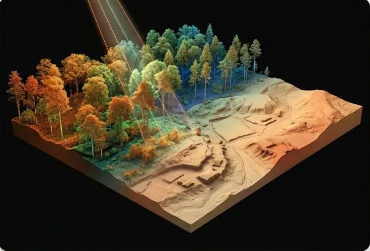
- LiDAR & 3D ScanningDense point clouds for pit walls and stockpiles.The ground under the trees, measured.
- Change Detection & MonitoringExcavation detection and progress.See every new structure, cut and encroachment between two dates.
- GeoAI & Satellite IntelligenceDisturbed-earth detection on and around the lease.Know what changed on your land, and where, without sending a team.
- Spatial Intelligence & Land AnalyticsCorridor routing and access.Plot-level facts a buyer, lender or authority can check.
- Intelligent GIS DashboardsOne panel for operations and compliance.Every layer, every date, in one panel your team can use.
LiDAR, on your ground.
Point-cloud pit with slope colour ramp and a volume gauge per survey date.
What lands on your desk
Files you can open, check and forward. Each delivery states its method and measured accuracy.
- Stockpile and pit volume reportPDF
- Slope and DTM change mapGeoTIFFDEM
- Excavation / disturbed-earth detection layerGPKG
- Corridor elevation profilePDF
- Rehabilitation change reportPDF
Send us a boundary. We'll send back intelligence.
A KML, a sketch on a map or a district name is enough to start.
We reply by email with questions, a method and a delivery list.