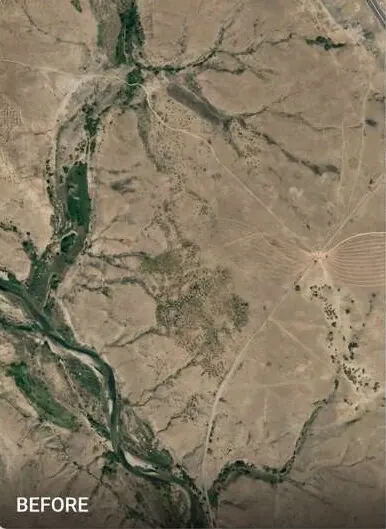
Boundary, flood risk and progress checks for every plot in your book, on deal timelines.
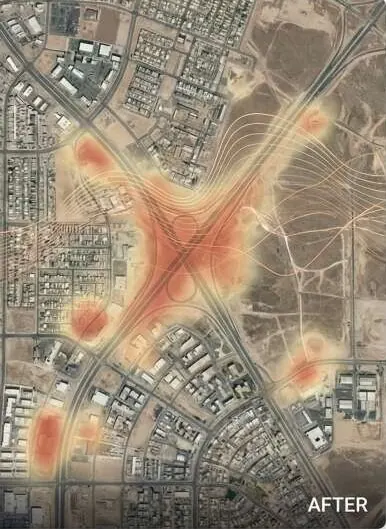
What keeps you up at night
The problems we are asked to solve most often in investors & banks.
- 01
Title and boundary do not match what is on the ground.
- 02
Flood or slope risk is missing from the valuation.
- 03
Construction progress claims go unverified before draw-down.
- 04
The land sits in an unapproved or illegal scheme.
- 05
Market value is not backed by location data: road, sun, access.
- 06
Due diligence is too slow for the deal timeline.
What we do about it
6 capabilities, one team, one coordinate system from field to dashboard.
- Spatial Intelligence & Land AnalyticsPlot-level reports, access and market-oriented evaluation.Plot-level facts a buyer, lender or authority can check.
- Change Detection & MonitoringProgress checks before each draw-down.See every new structure, cut and encroachment between two dates.
- Watershed & Hydrological EngineeringFlood risk on the collateral.Know where water goes before you build in its way.
- GeoAI & Satellite IntelligenceUrban expansion around the asset.Know what changed on your land, and where, without sending a team.
- Drone Survey OperationsSite verification.A current, measurable picture of your site, flown on your schedule.
- Intelligent GIS DashboardsA lender panel for the whole book.Every layer, every date, in one panel your team can use.
GeoAI, on your ground.
Plot card with risk layers (flood, road access, sun, approval status) and a before / after progress slider.
What lands on your desk
Files you can open, check and forward. Each delivery states its method and measured accuracy.
- Plot-level intelligence reportPDF
- Flood risk score per plotCSV
- Boundary vs title overlayGPKG
- Construction progress report per draw-downPDF
- Market accessibility mapPDFGPKG
- Lender dashboard linkURL
The numbers
Published figures, each with its source and date. Estimates are marked.
5,492
housing societies listed as unregistered, illegal or paper-only
Against 3,432 registered, in a report submitted to the Supreme Court. Undated snapshot.
UndatedEstimateZameen News · report submitted before the Supreme Court (opens in a new tab)
171
illegal housing societies in Lahore
Against 423 legal societies, per a Board of Revenue briefing.
Oct 2024ProPakistani · Board of Revenue briefing (opens in a new tab)
140 of 204
Islamabad housing societies estimated illegal
CDA chairman's estimate. Date not confirmed.
UndatedEstimateProPakistani · CDA chairman (opens in a new tab)
USD 30 bn
economic cost of Pakistan's 2022 floods
Post-Disaster Needs Assessment: damages above USD 14.9 bn plus losses of about USD 15.2 bn.
~1,700
deaths in the 2022 floods
NDMA figures cited in the IFRC final report, as of November 2022.
Nov 2022IFRC · Pakistan Monsoon Floods final report (opens in a new tab)
Open it. It's live.
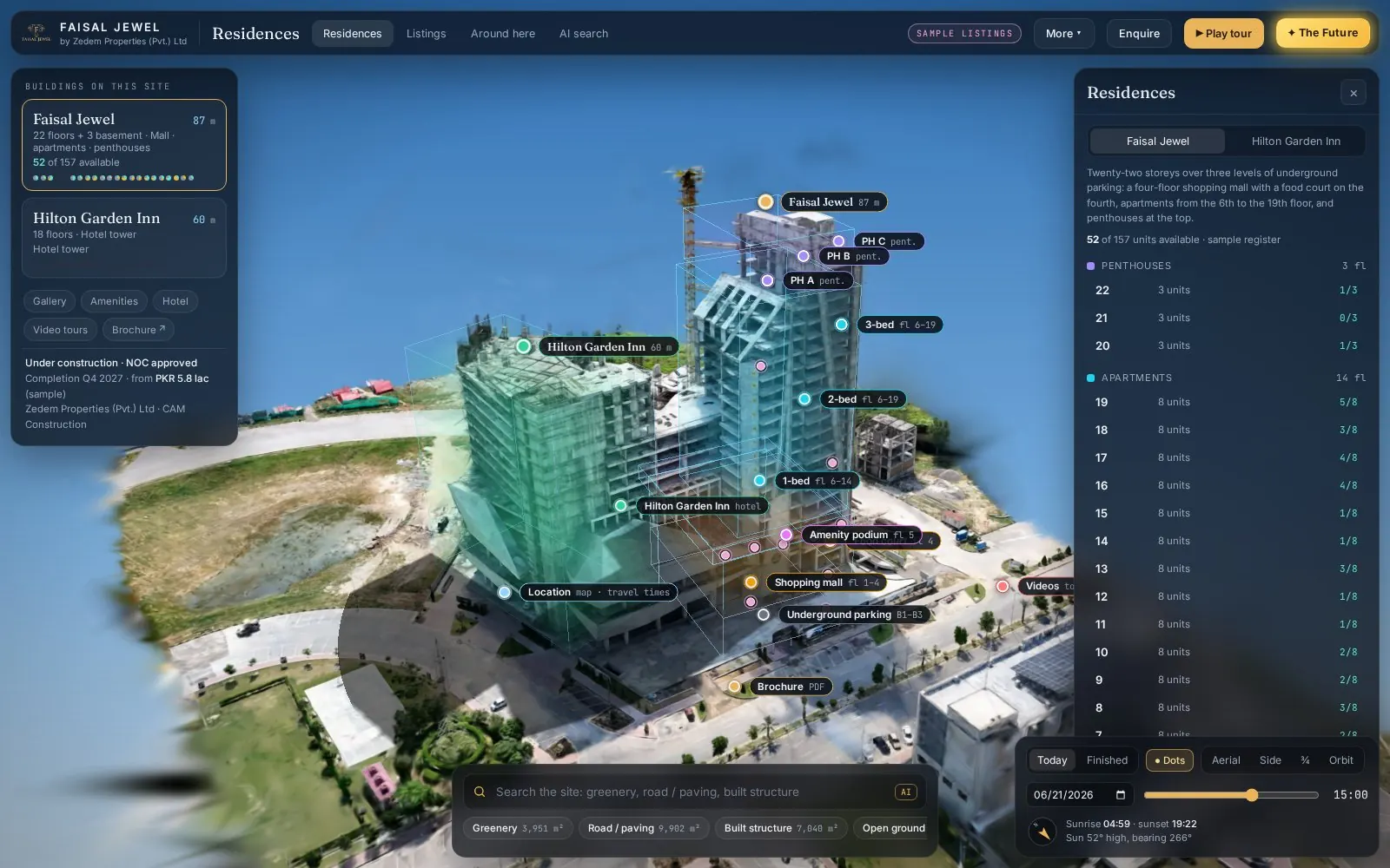
Two real property sites, captured by drone and published as interactive 3D twins. They run in your browser, on a phone.
 Live(opens in a new tab)Open live 3D
Real estate · 3D property twin
Faisal Jewel
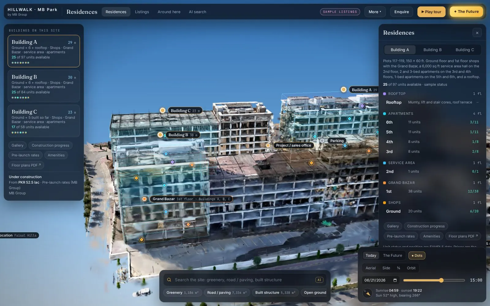 Live(opens in a new tab)Open live 3D
Real estate · 3D property twin
Hill Walk
Drone capture → Gaussian splat → Interactive twin
Send us a boundary. We'll send back intelligence.
A KML, a sketch on a map or a district name is enough to start.
We reply by email with questions, a method and a delivery list.