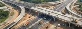
Drone and LiDAR volumes, per billing period, that client engineer and contractor both accept.
What keeps you up at night
The problems we are asked to solve most often in construction.
- 01
Running bill disputes.Client engineer and contractor disagree on quantities done.
- 02
Cut and fill volume disputes at handover.Each side has its own survey.
- 03
Schedule slips stay hidden until the monthly meeting.
- 04
Earthwork quantities are hard to verify on steep or wet ground.
- 05
Haul roads and drainage fail during the monsoon.
- 06
Field data gets retyped into spreadsheets between teams.
What we do about it
6 capabilities, one team, one coordinate system from field to dashboard.
- Drone Survey OperationsOrthomosaic and DSM for every billing period.A current, measurable picture of your site, flown on your schedule.
- LiDAR & 3D ScanningVolumes under vegetation or dust.The ground under the trees, measured.
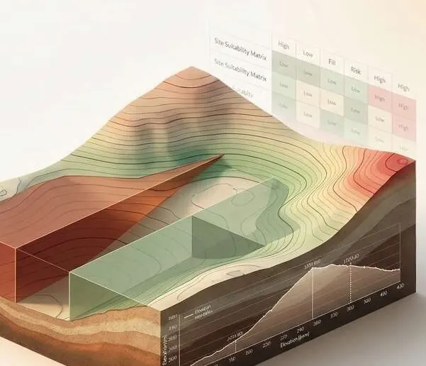
- Terrain Engineering & EarthworkCut and fill, elevation profiles, volumes per zone.Cut and fill volumes both sides of the contract accept.
- Change Detection & MonitoringProgress tracking between epochs.See every new structure, cut and encroachment between two dates.
- Watershed & Hydrological EngineeringDrainage and flow-path checks before the monsoon.Know where water goes before you build in its way.
- Intelligent GIS DashboardsA progress panel your client can open.Every layer, every date, in one panel your team can use.
Earthwork, on your ground.
Cut-fill heat map with a time slider across billing periods; click a zone for m³ cut, m³ fill and surface difference.
What lands on your desk
Files you can open, check and forward. Each delivery states its method and measured accuracy.
- Volume report: cut / fill m³ per zone, with method and datePDF
- DSM / DEM for each epochGeoTIFFDEM
- Orthomosaic (GeoTIFF) per billing periodGeoTIFF
- Progress change mapPDFGPKG
- Drainage and flow-path mapPDFGPKG
- Dashboard link for the engineerURL
The numbers
Published figures, each with its source and date. Estimates are marked.
≤10 cm
vertical RMSE for USGS 3DEP Quality Level 1 lidar
QL1 also requires at least 8 pulses/m² and nominal spacing of 0.35 m or less. A published standard, not a Spyder guarantee.
0.11 m
ground-model RMSE under medium vegetation: UAV laser scan vs photogrammetry
Vegetation taller than 60 cm. Laser scanning reached the ground where photos could not.
2018ISPRS International Journal of Geo-Information (opens in a new tab)
Open it. It's live.
Two real property sites, captured by drone and published as interactive 3D twins. They run in your browser, on a phone.
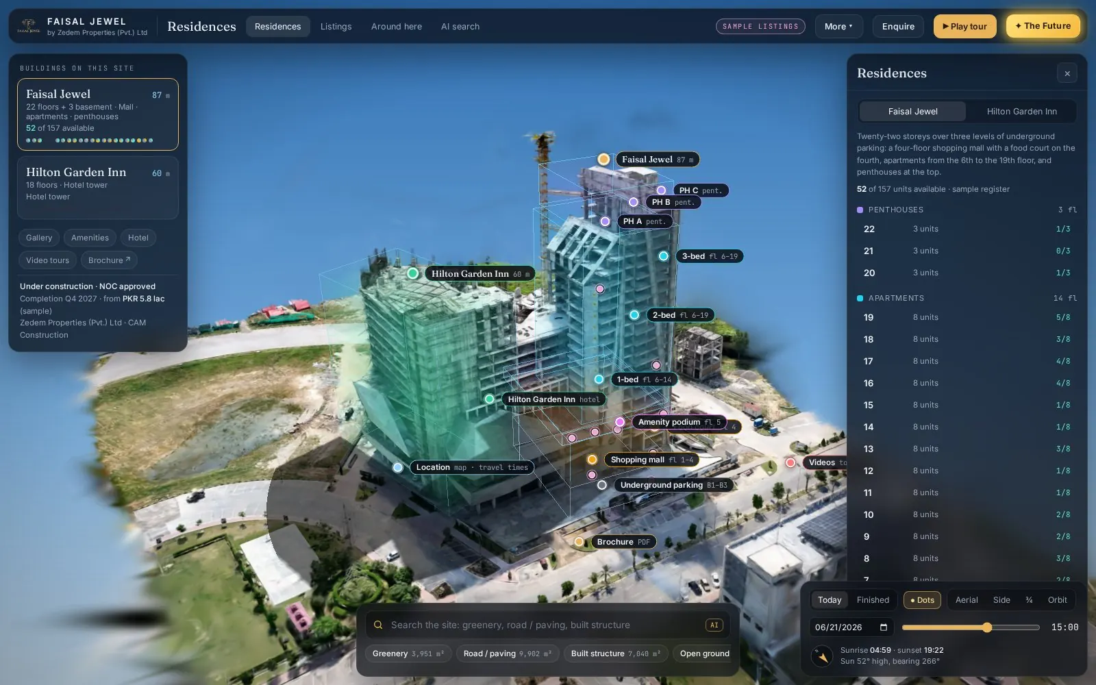 Live(opens in a new tab)Open live 3D
Real estate · 3D property twin
Faisal Jewel
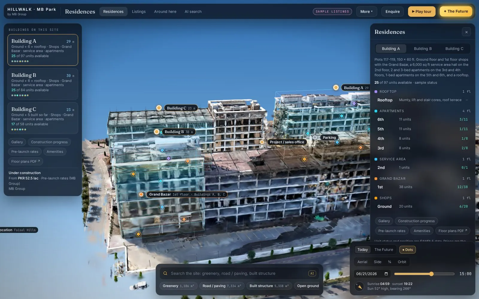 Live(opens in a new tab)Open live 3D
Real estate · 3D property twin
Hill Walk
Drone capture → Gaussian splat → Interactive twin
Send us a boundary. We'll send back intelligence.
A KML, a sketch on a map or a district name is enough to start.
We reply by email with questions, a method and a delivery list.