
What keeps you up at night
The problems we are asked to solve most often in industrial zones.
- 01
The gap between site plan and as-built grows with every phase.
- 02
Investors ask for plot-ready land with verified levels and drainage.
- 03
Power, water and gas routes are planned without accurate terrain.
- 04
Flood risk and drainage design are not proven for investor due diligence.
- 05
Progress reporting to federal and provincial stakeholders takes manual effort.
- 06
Land acquisition and boundary disputes slow handover.
What we do about it
6 capabilities, one team, one coordinate system from field to dashboard.
- Terrain Engineering & EarthworkPlot levels and cut and fill per phase.Cut and fill volumes both sides of the contract accept.
- Watershed & Hydrological EngineeringFlood risk and drainage design.Know where water goes before you build in its way.
- Drone Survey OperationsTopographic mapping and progress.A current, measurable picture of your site, flown on your schedule.
- Spatial Intelligence & Land AnalyticsRoad adjacency and accessibility.Plot-level facts a buyer, lender or authority can check.
- Digital Twin & 3D TerrainAn investor walk-through of the zone.Walk buyers and investors through the site before they visit.
- Intelligent GIS DashboardsOne stakeholder panel.Every layer, every date, in one panel your team can use.
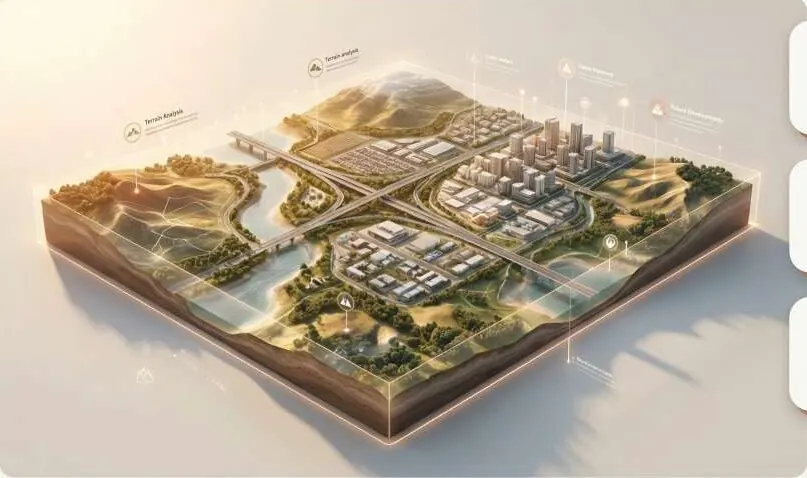
Digital twin, on your ground.
Zone terrain with plot grid; toggle design vs as-built surface.
What lands on your desk
Files you can open, check and forward. Each delivery states its method and measured accuracy.
- DEM and contour setGeoTIFFDEM
- Cut / fill volumes per plotPDF
- Flood hazard mapPDFGPKG
- Utility corridor map with slopePDFGPKG
- Progress change reportPDF
- 3D digital twin link for investorsURL
The numbers
Published figures, each with its source and date. Estimates are marked.
44
CPEC special economic zones approved
Up from 7 in 2019. About 4 were at partial implementation in 2025.
2025Dawn (opens in a new tab)Second source (opens in a new tab)
Send us a boundary. We'll send back intelligence.
A KML, a sketch on a map or a district name is enough to start.
We reply by email with questions, a method and a delivery list.