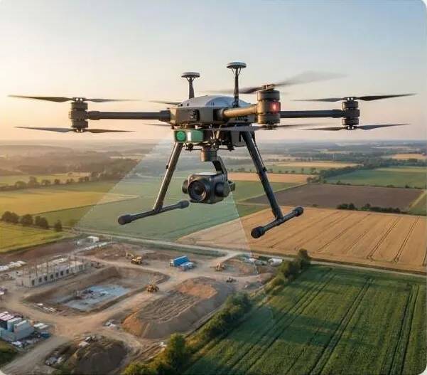
Know where water goes before you build in its way.
Catchments, flow paths, runoff and flood risk modelled from terrain. Drainage designed for the rain that actually falls.
Raise the rainfall to see flow concentrate.
A stream network traced from the terrain, from headwaters to the outlet, ordered by stream size, inside a dashed catchment boundary.
Questions it answers
Which plots flood in a heavy monsoon?
Where should the main drain run?
How big is the catchment above this site?
Where is the riverbank eroding?
What you receive
Files you can open in your own GIS or CAD software, plus a report that states method and dates.
- Catchment boundaries and flow accumulation rasters
- Drainage network extractionGeoPackage / SHP
- Flood hazard map with return-period classes
- Erosion change map
- The terrain model used, so your engineers can check it
How it works
Part of Advanced Geospatial Engineering
- 1
Build the terrain
A bare-earth DTM from LiDAR, drone or satellite elevation, conditioned for flow.
- 2
Trace the water
Flow direction and accumulation define catchments and the drainage network.
- 3
Simulate runoff
Rainfall scenarios estimate runoff and the extent of flooding.
- 4
Design and report
Hazard classes, drain routes and erosion zones, with the model inputs attached.
Who uses it
 Construction & InfrastructureSettle quantities and progress with survey-grade volumes.
 Government & Public SectorDistrict-wide imagery, terrain and change alerts.
 Urban Planning AuthoritiesCatch illegal layouts before they are sold.
 Industrial Zones & SEZsVerified levels, drainage and progress per phase.
 Agriculture & IrrigationLevel fields, trace water, read crop health.
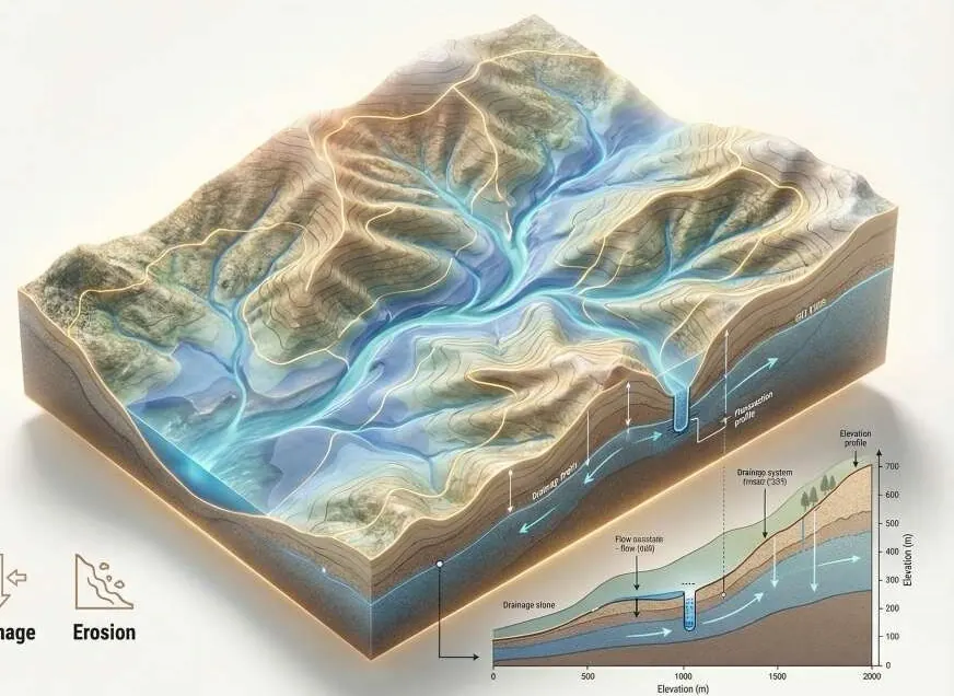 Environment, Floods & ClimateFlood hazard and damage maps engineers can check.
 Investors, Banks & Due DiligenceVerify the land before you fund it.
Works with
Put hydrology to work on your site.
A KML, a sketch on a map or a district name is enough to start.
We reply by email with questions, a method and a delivery list.