A current, measurable picture of your site, flown on your schedule.
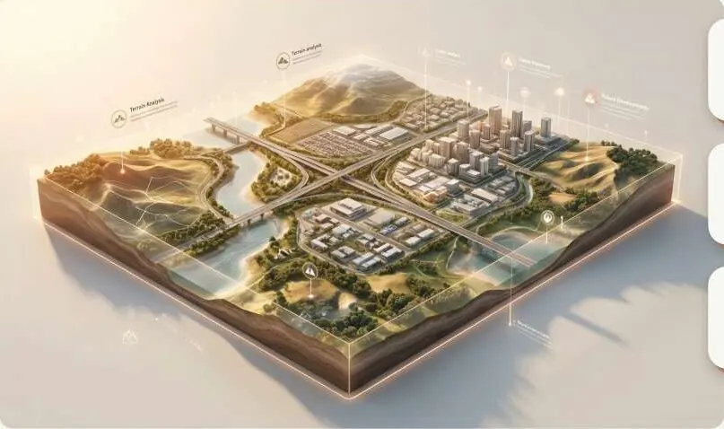
Orthomosaic and topographic mapping with RTK/PPK and ground control. Accuracy reported for every delivery.
Change the flight height to see resolution and coverage change.
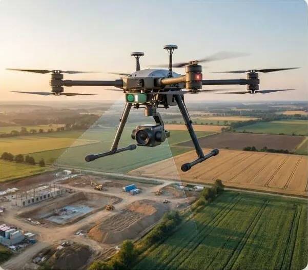
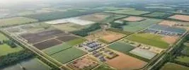
A survey drone over a construction site. The scan builds an orthomosaic grid with ground control point markers. Flight parameters are an example.
Questions it answers
What does the site look like today, at plot level?
Does the as-built match the approved layout?
How far has construction progressed this month?
Can we trust these levels for design?
What you receive
Files you can open in your own GIS or CAD software, plus a report that states method and dates.
- OrthomosaicGeoTIFF
- DSM / DEM / DTM
- Topographic contours
- Survey QA report with check-point RMSE
How it works
Part of Drone & LiDAR Field Operations
- 1
Plan the flight
Boundary, ground resolution and overlap set to the decision you need to make. Flown under Pakistan's Civil Unmanned Aircraft Rules 2024 with project permissions.
- 2
Set control
Ground control and check points are surveyed. RTK/PPK positions each image.
- 3
Fly and process
Images become an orthomosaic and surface models.
- 4
Verify
Independent check points measure the error. The RMSE is in your report.
Who uses it
 Real Estate & HousingProve every plot to buyers and approving authorities.
 Construction & InfrastructureSettle quantities and progress with survey-grade volumes.
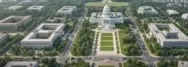 Government & Public SectorDistrict-wide imagery, terrain and change alerts.
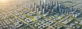 Urban Planning AuthoritiesCatch illegal layouts before they are sold.
 Industrial Zones & SEZsVerified levels, drainage and progress per phase.
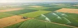 Agriculture & IrrigationLevel fields, trace water, read crop health.
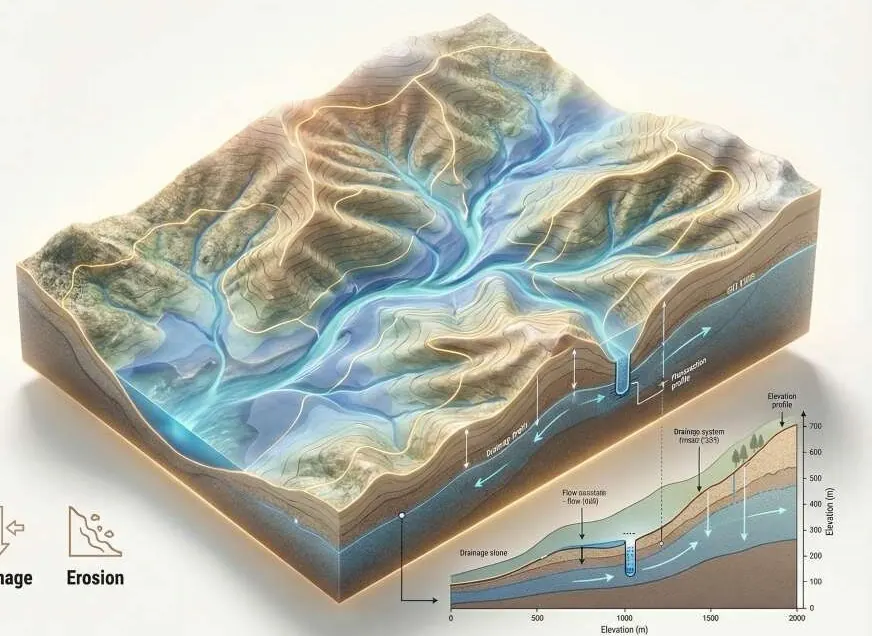 Environment, Floods & ClimateFlood hazard and damage maps engineers can check.
 Investors, Banks & Due DiligenceVerify the land before you fund it.
 Survey & Engineering FirmsAdd GeoAI, LiDAR processing and twins to your bids.
Works with
Put drone survey to work on your site.
A KML, a sketch on a map or a district name is enough to start.
We reply by email with questions, a method and a delivery list.