
Partner and white-label processing: point cloud classification, orthomosaics, DEMs, change models and dashboards under your name.
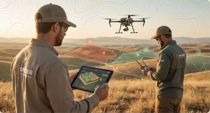
What keeps you up at night
The problems we are asked to solve most often in survey firms.
- 01
Tenders now ask for AI analysis, 3D twins and dashboards you do not staff.
- 02
Point cloud and imagery processing backs up after every big flight.
- 03
Clients want change monitoring, not one-off surveys.
- 04
Hiring a GIS developer for one contract does not pay.
- 05
Deliverables leave in formats the client cannot open.
What we do about it
6 capabilities, one team, one coordinate system from field to dashboard.
- LiDAR & 3D ScanningPoint cloud registration and classification.The ground under the trees, measured.
- Drone Survey OperationsOrthomosaic and DEM production from your flights.A current, measurable picture of your site, flown on your schedule.
- Change Detection & MonitoringChange-detection models for monitoring contracts.See every new structure, cut and encroachment between two dates.
- GeoAI & Satellite IntelligenceClassification and detection on your imagery.Know what changed on your land, and where, without sending a team.
- Digital Twin & 3D Terrain3D twins your client opens in a browser.Walk buyers and investors through the site before they visit.
- Intelligent GIS DashboardsClient dashboards, white-labelled.Every layer, every date, in one panel your team can use.
LiDAR, on your ground.
Raw point cloud classifying into ground, vegetation and structures.
What lands on your desk
Files you can open, check and forward. Each delivery states its method and measured accuracy.
- Classified point cloudsLAZ
- Orthomosaics and DEM / DSM / DTMGeoTIFFDEM
- Change-detection layers and reportsGPKGPDF
- 3D twin linksURL
- White-label dashboardsURL
- Processing reports with RMSE against your check pointsPDF
Send us a boundary. We'll send back intelligence.
A KML, a sketch on a map or a district name is enough to start.
We reply by email with questions, a method and a delivery list.