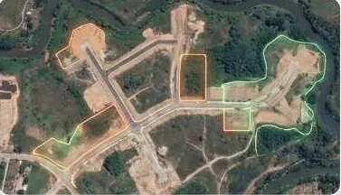
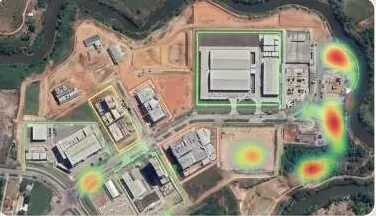
Walk buyers and investors through the site before they visit.
Interactive 3D twins from drone capture: floors, hotspots, sun study and terrain, in a browser link.
Move the pointer over the model to tilt it.
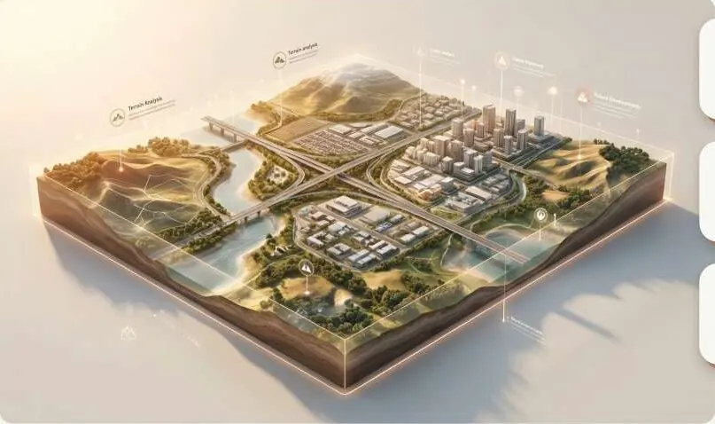
A 3D terrain block of a development with terrain, drainage and utility layers called out. Two live twins open in a new tab.
Questions it answers
Can a buyer explore the project from another city?
Which floor and unit is this, and what does it face?
How does the site sit in the terrain?
What does the sun do across the day?
What you receive
Files you can open in your own GIS or CAD software, plus a report that states method and dates.
- Browser-based 3D twin linkno app install
- Floor and unit boxes with hotspots
- Sun study and terrain views
- VR-ready model export
How it works
Part of Digital Twin & 3D Terrain Systems
- 1
Capture
Drone video and photos around and over the site.
- 2
Reconstruct
A Gaussian-splat or mesh model is trained from the capture.
- 3
Annotate
Floors, units, hotspots and pictures are fitted to the model.
- 4
Publish
You get a link that runs on a phone, with your branding.
Who uses it
 Real Estate & HousingProve every plot to buyers and approving authorities.
 Industrial Zones & SEZsVerified levels, drainage and progress per phase.
 Investors, Banks & Due DiligenceVerify the land before you fund it.
 Survey & Engineering FirmsAdd GeoAI, LiDAR processing and twins to your bids.
Works with
Put digital twin to work on your site.
A KML, a sketch on a map or a district name is enough to start.
We reply by email with questions, a method and a delivery list.